
Conway Neighbor Record Sources
For a Conway block, the strongest public trail begins with one focal parcel and moves outward only as the records support it. County tax and GIS resources provide parcel context. The Register of Deeds can explain a deed, plat, easement, or recorded HOA restriction. City GIS supplies municipal address, street-centerline, zoning, building, permit, and city-limit context. None of those sources is a roster of occupants, unrecorded residents, or household members.
| Block source | What it shows about a Conway block | Access and boundary |
|---|---|---|
| Horry GIS and tax service | Tax-parcel geography and a route to individually selected property records | Free account required for address-bearing county platforms; review one parcel at a time. |
| City GIS | City addresses, buildings, permits, zoning, centerlines, and current city limits | Map/query context, not a documented one-click neighbor feature. |
| Horry Register of Deeds | Deeds, plats, easements, and recorded HOA restrictions | Verify document relationships with the legal description. |
| City BS&A records | Building or utility record search by address, name, parcel, or record number | Its results and coverage were not captured; a permit is not occupancy proof. |
| Voter resources | The requesting person's own registration information | Not a street or block browse tool. |
A property may be held by an individual, trust, estate, association, or business. A separate taxpayer mailing address can be a post-office box or another place. These distinctions keep a Conway neighbors inquiry rooted in what a record actually says.
Conway Parcel Access Changes
Horry County's Tax Payer Services page visibly labels its common property search “Name or Pin or Address.” Its Assessor, Auditor, and Treasurer functions feed that common tax page. Since March 16, 2026, the County has required a free user login for online GIS, Land Records, and Tax & Assessor platforms that show property addresses. A Conway neighbors search should expect that access step rather than promise anonymous address results.
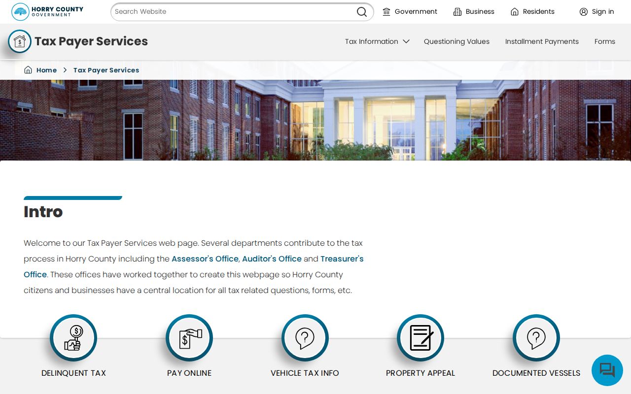
The Horry County Tax Payer Services search screen is the starting point for a parcel key.
Use the PIN or TMS, if available, as a stable county locator. If a logged-in platform cannot be used, the Register of Deeds counter and focused records requests remain separate access channels. A returned assessment or unclaimed-refund search is a distinct database and must not be described as a list of people who live on the block.
Note: A parcel's situs is its physical location, while a taxpayer mailing address may identify only where correspondence is sent.
Conway City GIS Context
County and City GIS serve different purposes. Horry GIS represents tax-parcel fabric and expressly is not a survey. The City of Conway GIS service adds City Addresses, PERMITS, CENTERLINES, CURRENT_CITY_LIMITS, buildings, zoning, easements, flood zones, and other municipal layers. Use City Addresses and CENTERLINES to check street spelling or alignment, then use CURRENT_CITY_LIMITS when a Conway mailing address may actually be in surrounding Horry County.
The Horry County GIS Parcels login screen documents the county access route.
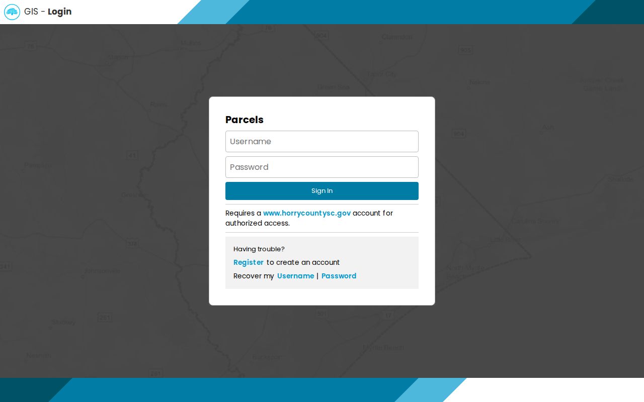
That county view supplies tax-parcel context. It cannot settle a survey question or identify a household.
The City of Conway GIS layer service shows the municipal layers available around a Conway block.
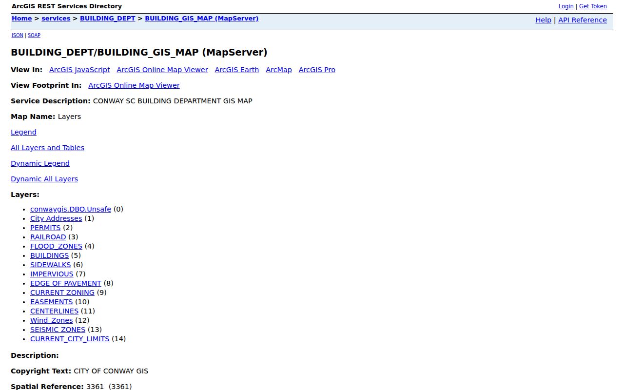
Use the city layer list to place a parcel in municipal context. It does not document an adjacency or buffer button, so do not assume a special neighborhood-search control exists.
Postal labels add a second geography to a Conway neighbors question. Conway Library at 801 Main Street uses 29526, while Bucksport Library at 7657 Highway 701 South uses a Conway, SC 29527 mailing address. The Register of Deeds and Probate Court use Conway 29528 post-office boxes. Those official examples show why a Conway ZIP or mailing city does not settle the city-limit question for a specific parcel. Verify the full address with USPS, then compare it with City GIS CURRENT_CITY_LIMITS and the county parcel record.
Map Conway Neighbor Parcels
Mapping a block is a parcel-by-parcel process. Start at the focal address, find its PIN or TMS, and examine the boundary lines surrounding that property in authorized county map context. The next question is about each selected parcel, not a claim about every person nearby. City GIS can then place the same location against municipal streets, limits, and physical-property layers.
- Check the supplied address against City GIS City Addresses, CENTERLINES, and CURRENT_CITY_LIMITS. Keep “Horry County” in a request if the Conway mailing city falls outside city limits.
- Use Tax Payer Services to identify the focal PIN or TMS and any available legal description. Separate the situs from a different mailing address.
- Inspect the surrounding parcel lines in Horry GIS. Review an individual neighboring parcel only through the authorized property route.
- Use the legal description to test an associated deed, plat, or easement in the Register of Deeds. Preserve the record date and document key.
- For a whole named street rather than the immediate block, use the fuller Conway street directory record trail.
Parcel relationship is geographic. It does not establish personal familiarity, current occupancy, voting eligibility, or legal responsibility. That is why the process stops before it becomes a people list.
Conway Deed and Plat Clues
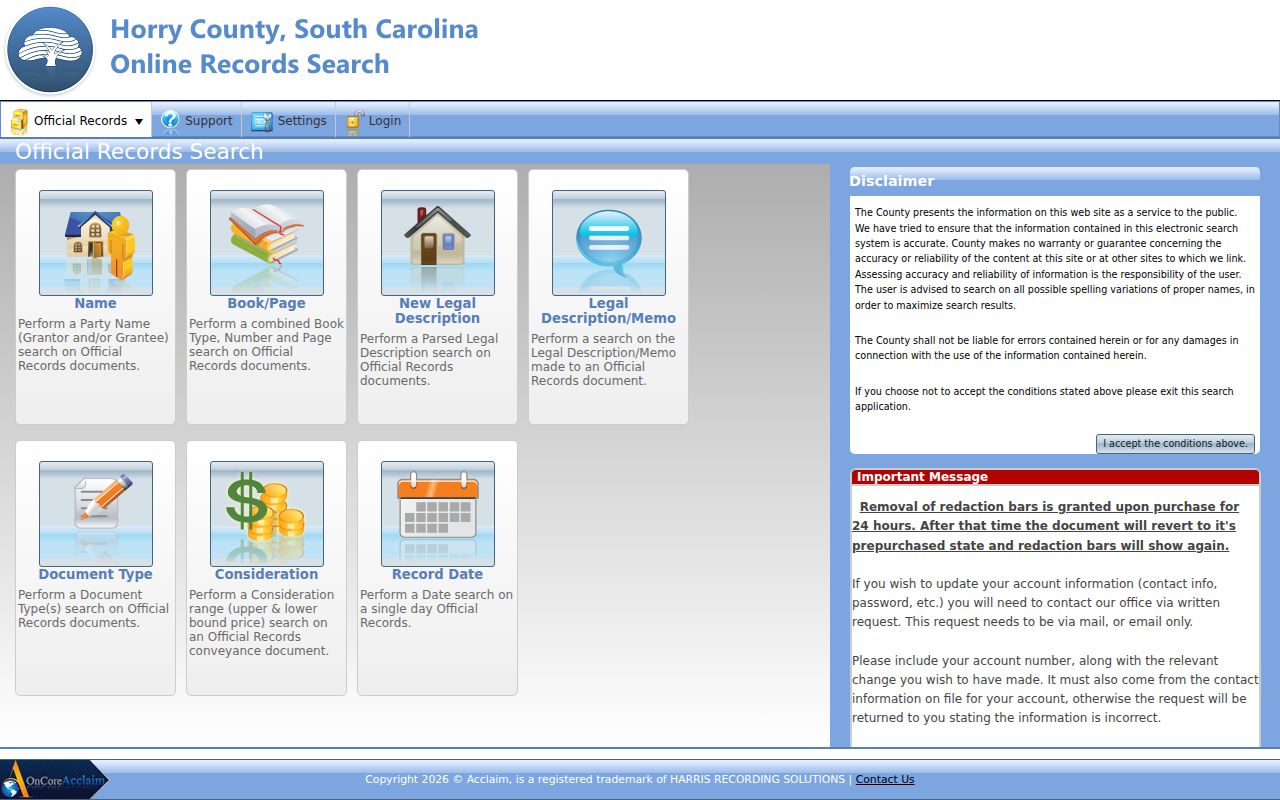
Recorded documents often explain the physical block better than an address search. The Horry County Register of Deeds maintains deeds, mortgages, plats, liens, easements, powers of attorney, and HOA restrictions. In its Official Records Search, the visible modes include party name, book/page, new legal description, legal-description/memo, document type, consideration, and record date. For a subdivision or shared-drive question, match the lot or legal description before assuming two nearby addresses concern the same recorded instrument.
The Horry County Records Search shows the available official-record search modes.
The Register's copy form states online party-name results from 1984. It asks for the name on document and type of document, plus any available book/page, TMS or PIN, property address, and description. For older material, call 843-915-5430, visit the Register, submit the copy form, or use the SC Archives' county-record microfilm path.
- Plat
- A recorded map that can show lots, streets, and subdivision layout. It is not a resident list.
- Easement
- A recorded right involving use of land, such as access or utilities, that may explain a shared physical feature.
- Legal description
- The lot, subdivision, acreage, or other recorded property identifier used to match land documents.
Conway Permit Record Context
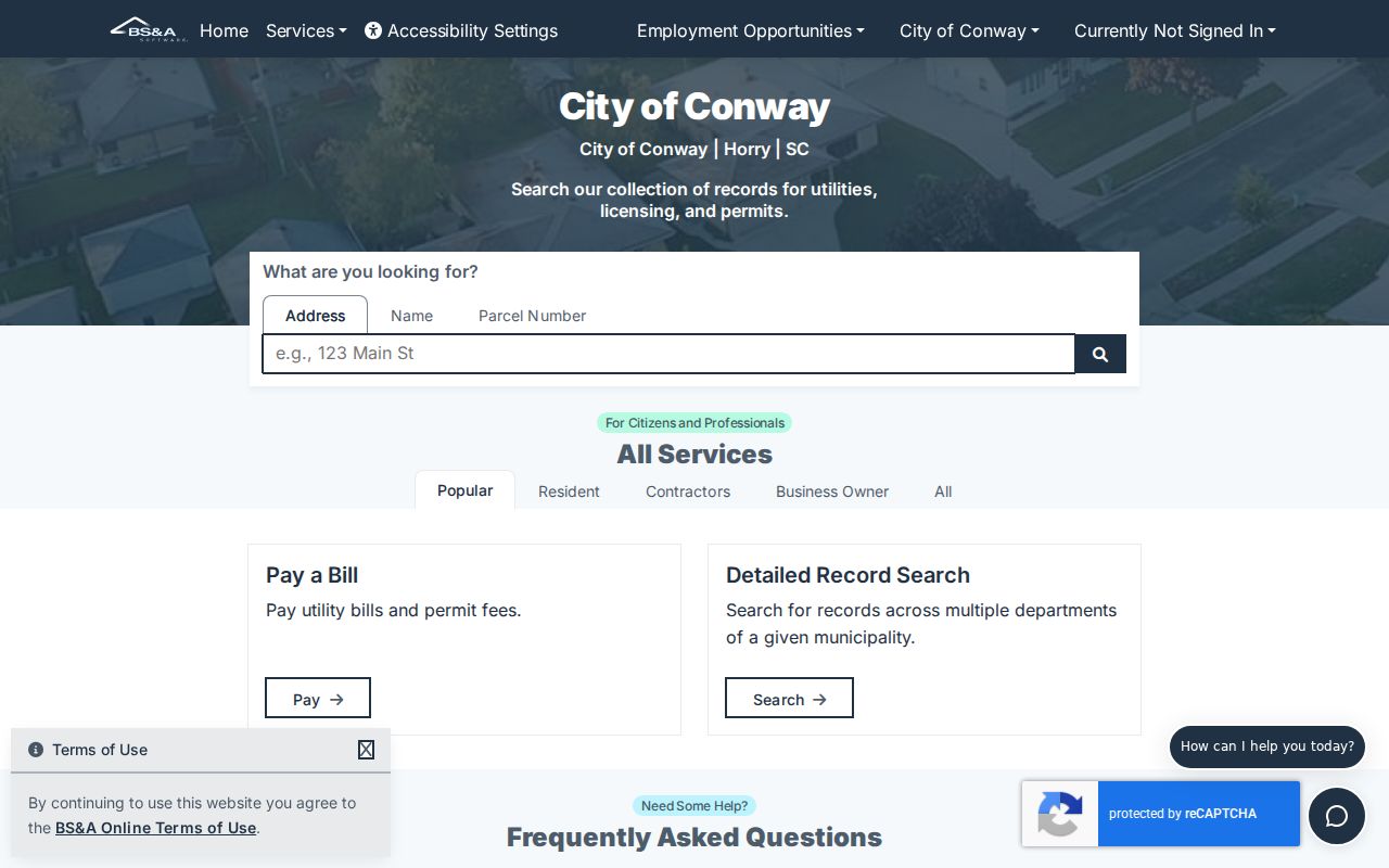
City BS&A Online offers Public Records Search categories for All Records, Building Department, and Utility Billing. The inspected search modes are Address, Name, Parcel Number, and, for Building Department records, Record Number. Use the narrowest category that fits a property question. The City GIS PERMITS layer may help locate a permit geography before checking BS&A for a particular record.
The City of Conway public-records search shows those address, name, parcel, and record-number entry points.
A permit can date a physical change or lead to a bounded city-record request. For a record the portal does not expose, make a focused South Carolina FOIA request to the City department that names the record type, address or parcel, and date range, and request electronic copies if practical. The inspected material did not verify result fields, coverage, downloads, or named occupants. A permit therefore cannot prove who lives at the address.
Conway Block Voter Limits
MySCVOTES cannot be used as a Conway block roster. The official Check My Voter Registration route requires a name, county, and date of birth as printed on the registration card. It is for a requesting voter to check personal voter information. Inactive records are unavailable online, and Address Confidentiality Program participants may use substitute addresses. A street, ZIP, or map point is not a voter-search key in the inspected tool.
For a lawful election-data question, use the Election Commission's FOIA request form or ask Horry County Voter Registration and Elections about the proper county process. The local office is not a source for a reusable neighbor list.
Conway Association Record Limits
Recorded HOA covenants are not the same as a public membership directory. The Horry Register's land records may contain restrictions or amendments that explain a subdivision's recorded rules, but the research did not locate an official current Conway neighborhood-association, HOA, church, or voluntary-group directory with household contact details. That absence is a privacy limit, not a reason to infer members from a plat or deed.
| Conway community record channel | Verified use | What is not established |
|---|---|---|
| Register of Deeds HOA records | Recorded restrictions, amendments, deeds, plats, or easements tied to land | Current membership, contact details, or occupancy |
| Horry County Historical Society and archives | Historical publications, photos, oral histories, and local context | A current neighborhood member directory |
| Horry County Museum | Its own history and collection material | Genealogy service; it directs that work to Historical Society and SC Archives |
For older neighborhood context, the Horry County Archives Center and Horry County Historical Society can help identify dated sources. Treat a historical image, oral history, or directory entry as dated evidence and confirm any property detail with the appropriate custodian.
Note: A recorded covenant can explain land rules, but it does not establish who belongs to a Conway association today.
Conway Neighbor Privacy Limits
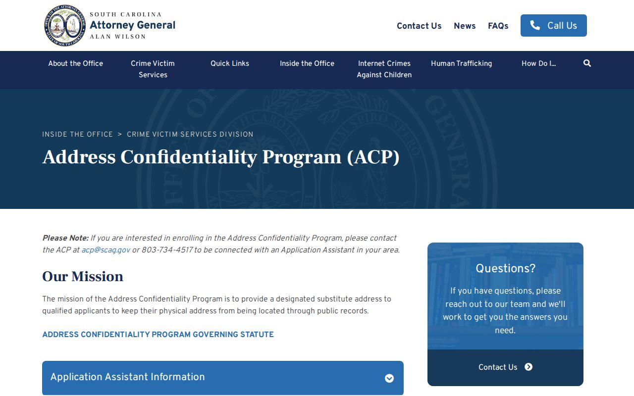
South Carolina's Address Confidentiality Program allows eligible victims to use a substitute address that state, county, city, and court agencies must accept under S.C. Code Ann. § 16-25-130. The program does not remove a record released before enrollment, yet its application materials are confidential. Private utility information, DMV personal data, protected addresses, unredacted identifiers, and sealed files do not belong in a Conway neighbors inquiry.
The South Carolina Address Confidentiality Program outlines the protected-address safeguard relevant to a Conway block search.
Official parcel and deed records are narrower, dated, and tied to a custodian. Commercial neighbor-search products combine public and marketing information that can be stale, incomplete, or merged across people. The first approach preserves record context; the second can blur it. Verify a result with the office that holds the underlying record.
Lawful use. Use Conway neighbors records for a specific property, history, safety, or civic question. Do not use them to watch, stalk, harass, intimidate, or harm any person.