
Conway Postal Coverage
Three postal designations appear in the county sources, but they have different uses. Official locations show a 29526 civic-core pattern, a 29527 Conway-mailing example at Bucksport, and 29528 post-office-box addresses for county offices. Those examples are enough to show that the City of Conway, its surrounding Horry County mailing area, and county-office correspondence cannot be collapsed into one delivery area. They do not establish a complete neighborhood map, a physical-delivery range for 29528, or the city boundary for every address.
| ZIP | Areas or official anchors | Post-office evidence | Conway research note |
|---|---|---|---|
| 29526 | Conway Library at 801 Main Street; civic and justice-center examples. | Physical city-address examples are verified. | Check the full address and city limit separately. |
| 29527 | Bucksport Library at 7657 Highway 701 South uses a Conway mailing city. | No post-office designation was verified. | A Conway mailing label does not establish City jurisdiction. |
| 29528 | Register of Deeds and Probate Court post-office-box mail routes. | P.O. box use is verified; delivery scope is not. | Treat it as correspondence, not a parcel situs. |
A ZIP code directory should therefore begin with the exact address, not a broad assumption about all of Conway. The physical street location, postal mailing label, legal description, and county PIN or TMS each serve a distinct records purpose. Keeping them separate prevents a property query from being sent to the wrong office or treated as a city-limit answer.
Note: The verified Conway examples identify postal uses, not a complete list of every delivery route or municipal-boundary segment.
Verify Conway ZIP Codes First
The official starting point is USPS ZIP Code Lookup. Enter the complete house number and street, then retain the USPS-formatted city and ZIP result as postal verification. It is a useful first check when an old document, parcel note, or mailing label points to Conway. It does not tell the reader whether the address is inside municipal limits, which tax parcel applies, or what recorded documents affect the lot.
| USPS input or result | Use in a Conway record search |
|---|---|
| Complete house number and street | Required address detail for the official lookup workflow. |
| USPS-formatted city and ZIP | Preserve as postal verification before using a county or city portal. |
| Full address result | Use the exact address, not ZIP alone, in property and city record searches. |
The USPS address utility is shown here because the workflow begins with a full address rather than an assumed city-wide ZIP.
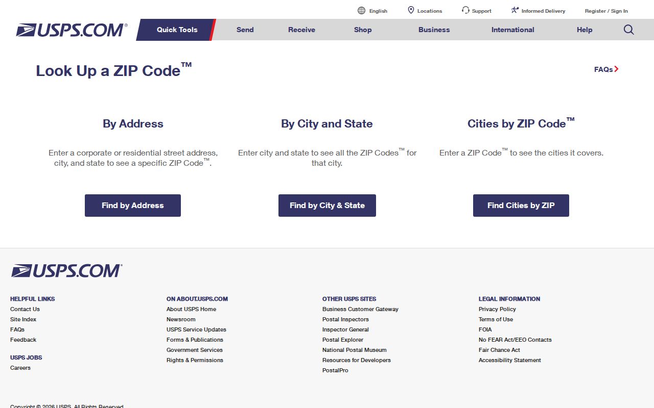
Once USPS supplies the postal format, compare it with city limits and parcel context before deciding that the address belongs to a municipal record set.
Conway ZIP City-Limit Checks
Postal geography and City of Conway jurisdiction are different layers. A street may use Conway as its mailing city while remaining in unincorporated Horry County. The City’s public GIS service provides a CURRENT_CITY_LIMITS layer alongside City Addresses, CENTERLINES, PERMITS, buildings, zoning, easements, and other municipal layers. Compare the verified postal address to that map layer before directing a request to a City office or describing an address as inside Conway.
The public City of Conway GIS service lists the map layers available for that comparison.
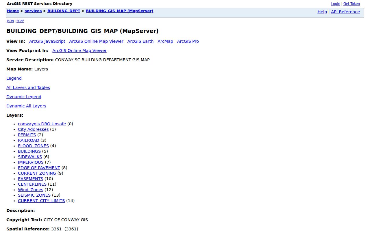
City Addresses and CENTERLINES can help resolve a street form, while CURRENT_CITY_LIMITS supplies the municipal context that a ZIP result cannot provide.
The service supports query and identify operations, but it should not be described as a title survey, a tax-parcel survey, or a person directory. When a parcel lies close to the boundary, the relevant City or County custodian is the proper source for a final administrative answer.
Conway ZIP Property Search Keys
Neither the Horry tax page nor the other inspected local portals displayed a ZIP filter. The visible Horry County Tax Payer Services property control is Name or Pin or Address. After postal verification, use the full address or PIN to start the property trail. A PIN is the county’s locator for tax and parcel work. It is more precise than trying to make a broad ZIP search do work the portal does not offer.
| Portal | Verified key | ZIP filter verified? | Best use after address check |
|---|---|---|---|
| Horry Tax Payer Services | Name or Pin or Address | No | Use exact address or PIN for a property lead. |
| Horry Records Search | Name, legal description, book/page, document type, consideration, or record date | No | Move from parcel detail to recorded documents. |
| City BS&A | Address, name, parcel number, or record number | No | Narrow a building or utility record question. |
| City GIS | Map query and identify layers | No | Check municipal address and city-limit context. |
Horry County requires a free user login, effective March 16, 2026, for online GIS, Land Records, and Tax and Assessor platforms showing property-address information. The retrieved public tax page did not reveal the authenticated parcel-result field list. A property result may guide the next record check, but it should not be expanded into a claim about every person associated with an address.
The Horry County Tax Payer Services page documents the main name, PIN, or address input.
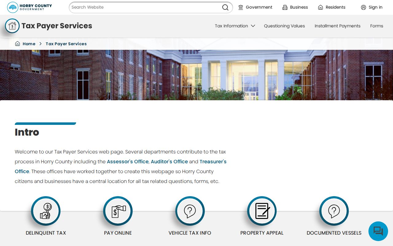
The display confirms that an exact property key, rather than a ZIP-wide filter, is the practical next step after USPS verification.
Conway ZIP Parcel Map Context
Horry County GIS adds the tax-parcel geography to a postal result. Its current parcel-search endpoint presents an authorized-account login with username, password, sign-in, registration, and account-recovery controls. The county describes the map as tax parcel fabric and says it is not intended for survey use. The retrieved screen did not document a ZIP layer, a buffer, a whole-city search, an adjacent-parcel button, or a particular popup field.
The Horry County GIS Parcels screen shows that county account access is now part of the address-record workflow.
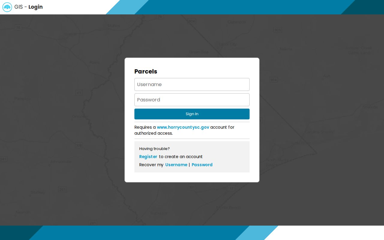
Use the authorized county map for parcel context and the City layer for municipal context, then seek a plat or survey when a boundary itself matters.
Search Conway ZIP Addresses
A ZIP code directory can narrow a postal question, but the local records workflow becomes address- or parcel-based after that point. The sequence below respects the fact that no inspected Horry tax, Acclaim, City BS&A, or City GIS screen offered a ZIP filter. It also avoids treating personalized voter information as a list that can be browsed by postal area.
- Verify the complete street address with USPS and save its formatted result.
- Check City GIS CURRENT_CITY_LIMITS to determine whether the municipal layer applies, especially for a Conway mailing-city address.
- Use Horry Tax Payer Services with the exact address or PIN. Keep the situs, any mailing detail, and legal description in separate notes.
- Use the legal description, party name, book and page, or record date in Horry County Records Search when a recorded-instrument question remains.
- For a City building or utility question, use the same confirmed address or parcel number in City BS&A and request a defined record if the portal does not answer it.
When the postal question has narrowed to a particular street, the Conway street directory provides the fuller address-to-parcel-to-deed workflow. Keep that work tied to one property question instead of attempting to turn a delivery route into a broad list of people.
Note: USPS verifies postal formatting, while the correct county or city custodian verifies the particular public record requested.
Conway ZIP Code Search Limits
Postal information cannot stand in for a current-person list or a voter roster. South Carolina’s Check My Voter Registration requires the voter’s name, county, and date of birth exactly as printed on the registration card. It is a personalized check, not a ZIP or street browse. The State Election Commission’s FOIA form and List Sales resources are the official channels for a defined election-data question, subject to the applicable eligibility, field, price, and lawful-use terms at the time of request.
Similarly, a property tax record, mailing address, deed, permit, or utility-query route has its own purpose. A tax mailing address can be a post-office box or another correspondence location. A legal description identifies property. A recorded deed identifies an instrument and named parties. None of those facts is a complete personal profile. If a search finds a sealed, restricted, or redacted record, ask the custodian whether a lawful copy or correction process exists.
Use address data carefully. Keep Conway postal and property searches limited to legitimate personal, historical, property, or civic questions. Do not use public records to stalk, harass, intimidate, or confront anyone.
Conway Postal Data Terms
Several address terms can appear in the same records search, but they are not interchangeable. A careful note should preserve the full street address used by USPS, the property location used by tax and GIS systems, and the legal description used in recorded documents. In Horry County, the PIN or TMS is also a practical county locator. These distinctions are especially useful when an older record uses a street variation or a Conway mailing label that does not answer the city-limit question.
- ZIP and ZIP+4
- A ZIP is USPS delivery geography. A ZIP+4 adds more postal precision to a verified full address; no Conway ZIP+4 pattern was captured in the research.
- Mailing address
- An address used for correspondence. It can differ from the property’s situs and can be a post-office box.
- Situs address
- The physical location of the taxed parcel, used in county tax and GIS context.
- Legal description
- The recorded lot, subdivision, or other property description that links deeds, plats, and the parcel trail.
- PIN or TMS
- The county tax locator that can make a property search more precise than a street spelling.
No authoritative Conway ZIP realignment, split, or street-renumbering date was found. The appropriate bridge for a historical address is the legal description, plat, City GIS centerline, city-limit layer, and dated record evidence, not an assumed date of change.
Conway Records Access Routes
The March 2026 county login change is the key current access fact for postal-to-property research. If the online tax, land-record, or GIS route stops at the free account gate, use the appropriate fallback rather than guessing at a result. The Register of Deeds offers its Acclaim portal, counter service, telephone help, and a mail copy-request form. City GIS is public for its published layers. City BS&A provides its documented search modes, while a focused City records request can name the department, property key, and bounded date range.
For a County public-record request, Horry County Public Information provides the FOIA route. South Carolina Freedom of Information Act requests fall under S.C. Code Ann. title 30, chapter 4, including § 30-4-30. The public body’s determination timing and any available record are governed by that process. A request should identify the custodian and record sought rather than ask for a broad list based on a postal label.
Conway is Horry County’s county seat, and its record geography crosses civic addresses, county parcels, municipal limits, and postal routes. Verify the full address first, use the record keeper’s own key next, and retain the source date for every result.